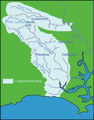
River Catchments - INNY
The River Inny is 32.5km long and drains an area of 108.25km2. The western side of the catchment is an Area of Great Landscape Value (AGLV) whilst Penpont Water, the Inny's main tributary, has Area of Outstanding Natural Beauty, Area of Great Scientific Value and Area of Great Historical Value status.
The geology within the catchment is mostly slate, with some shale and grit whilst the soils are shallow with low clay content. Agriculture is not very intensive, the main farming enterprises being beef or beef/sheep farms with a few dairy farms in the lower reaches.
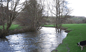
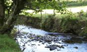
There are trout, sea trout and salmon populations throughout most of the river, supporting an active rod and line fishery - particularly focused on seatrout. Other species present include otter, kingfishers, sand martins, dippers, curlews and snipe.
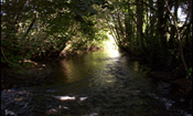
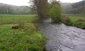
Advisory work started in earnest in January 2004 on the Inny and by the end of the project over 68 farms had been visited and given written management plans covering an area of 3,274 hectares (30% of the catchment area). These include two major river plans covering almost two miles of the lower section of the river. Advice included coppicing works to reduce over-shading, removal of in stream debris and fencing. Individual farms have received fertiliser advice; in one case potential savings of £800 per annum were achieved and many more farms have begun a routine program of soil testing to better target fertilizer applications. Over 92km of watercourses were surveyed during the project and 14km of fencing was grant aided.